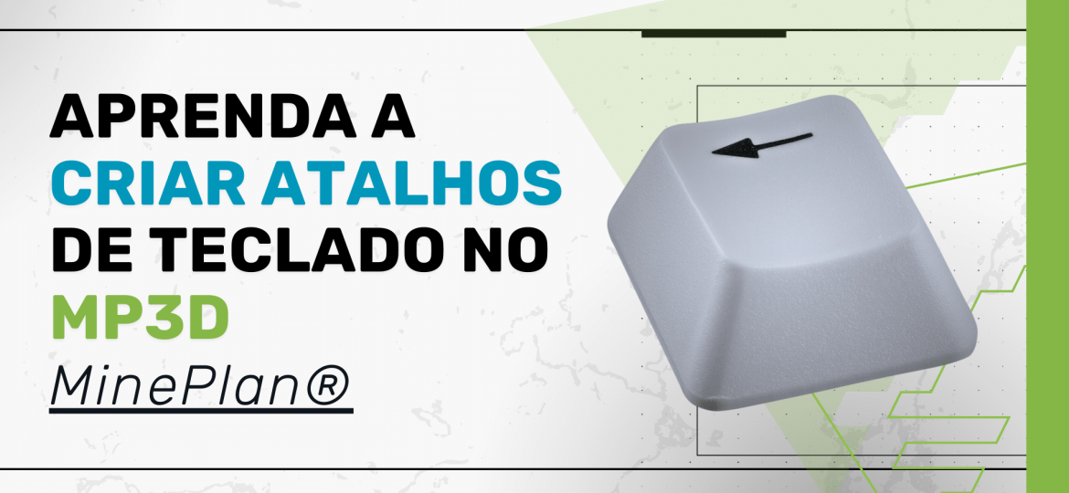
Did you know that MinePlan 3D (MP3D) already offers a series of predefined keyboard shortcuts to optimize access to the software's essential tools and features? If you still navigate through menus to find functions, this article is for you! In MP3D, in addition to the shortcuts configured in the PopUp Menu (right-click menu), you also have the possibility to create custom keyboard shortcuts to make your work faster and more efficient. Let's explore how to make the most of this functionality. How does Hot Key Assignment work in MinePlan? Hot Key Assignment in MP3D allows the user to define custom keyboard shortcuts, making it easier to access the most used tools. A complete list of already configured shortcuts can be viewed through the Help > Hot Key Help Dialog menu. You can use these shortcuts to access…
2025
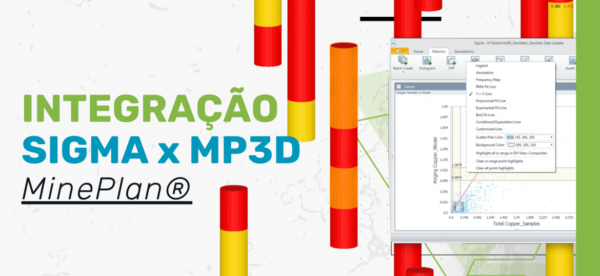
Having trouble interpreting and visualizing your geostatistical data accurately? Good analysis of this data is essential for decision-making. With this in mind, Sigma, an advanced tool from MinePlan (formerly MineSight), allows you to validate, parameterize and analyze statistical and geostatistical data from drilling and block models. With it, you can generate histograms, variographic maps, grade and tonnage curves, among other essential graphical representations. Sigma and MP3D Integration: Explore Geostatistical Data in the 3D Environment The integration between Sigma and MP3D offers an interactive approach to highlight and explore geostatistical data directly in the three-dimensional environment. This provides greater agility and accuracy in analysis, allowing a more intuitive visual interpretation of the results. In this Tips & Tricks, you will learn how to highlight samples that meet specific criteria from graphs generated in Sigma. Watch the full tutorial…

Hexagon Mining continues to innovate to offer more agile and integrated solutions in MinePlan. With the introduction of xViewer to optimize 3D visualization, starting with MS3D 10.50, the software now features Point Cloud technology, an advanced feature for importing and analyzing point clouds directly in the MinePlan environment. What is Point Cloud? Point Cloud allows the import and visualization of large sets of georeferenced points, making it possible to perform detailed analysis of surfaces, geological structures and topographic surveys. It is compatible with data from different capture technologies, such as Laser Scanner and Photogrammetry, and allows the use of RGB channel values to generate realistic and accurate representations. Main Benefits of Point Cloud Technology Efficient visualization of point clouds in high resolution Support for multiple survey technologies, including…
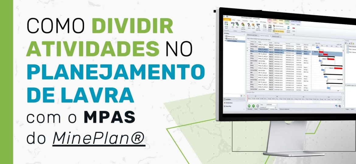
The Split option, located under the Activity menu in MPAS, allows a sequenced activity on your Gantt chart to be split by geometry, mass, percentage or time.
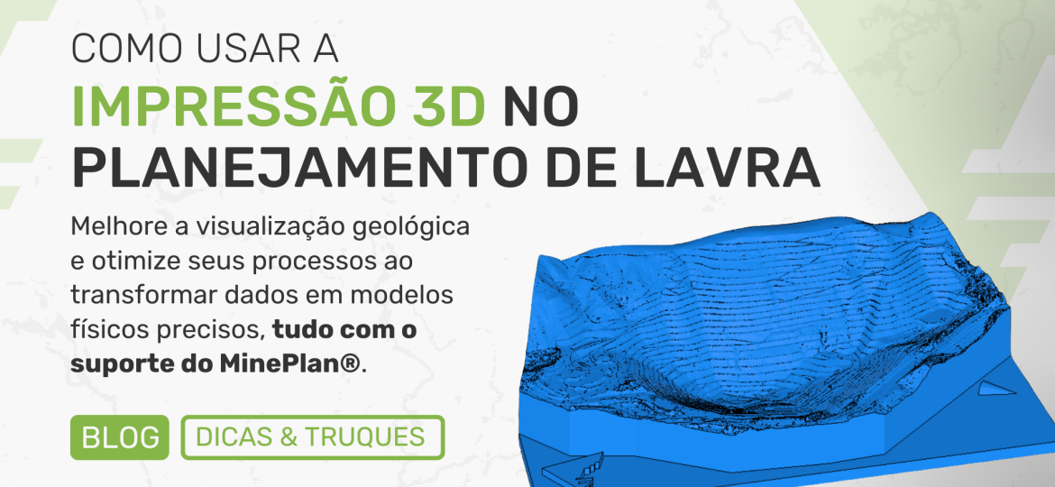
3D printing in mining planning, does it make sense? 3D printing is gaining ground in several industries, and mining is no different. Yes, this technology has the potential to transform the way mining projects are visualized, prototyped and optimized. With the use of STL export, for example, we can create physical models of geological formations, prototype solutions and improve operational processes with greater agility and precision. 3 benefits of 3D printing in mining planning 1. Advanced visualization: The ability to transform digital data into physical models helps in understanding geological conditions and facilitates operations planning. 2. Rapid prototyping: Allows for the creation of a more realistic test environment, reducing development time. 3. Practical training: 3D models facilitate the safe and efficient training of teams, providing a clear understanding…