Transform your Open Heaven Mine Planning with MinePlan: optimization, precision and 100% solutions integrated into your strategic, tactical and operational.
2024
Case Juruti: Understand how Prominas, in partnership with Alcoa, implemented the planning of forestry operations with sustainable mining and technology.
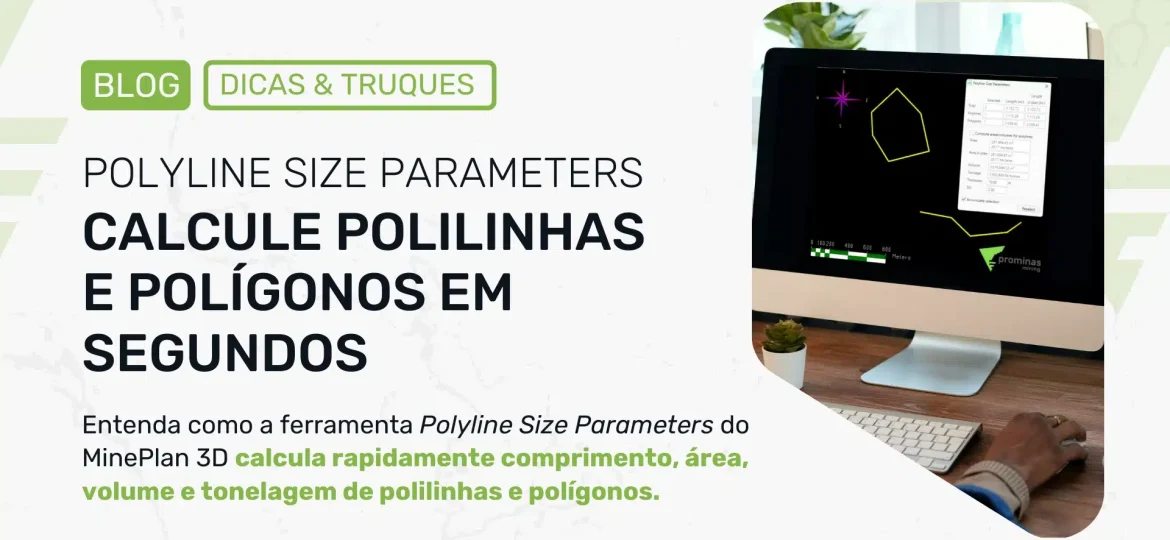
Did you know that MinePlan 3D (MP3D) has functionality that calculates and displays geometric information about polylines and polygons? The Polyline Size Parameters tool, located in the Polyline Menu, allows the user to quickly and conveniently calculate information such as length, area, volume and tonnage of polylines and polygons. The first section of the tool presents the number of polylines and polygons selected, in addition to their respective length (total and in plan) in meters. The second section is responsible for calculating area (total and in plan), volume and tonnage. The area is automatically obtained for polygons, and can be computed for polylines when enabling the Compute areas/volume for polylines option, being estimated according to the polygon that would be generated when closing the polylines. Volume and tonnage are obtained with values determined for thickness and density. Other…
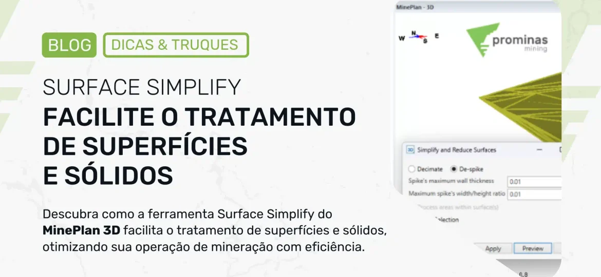
Have you ever wondered how mining software can simplify complex tasks such as surface and solid treatment? Welcome to the fascinating world of MinePlan 3D (MP3D), where technology meets simplicity to make your work easier. Let's explore a tool called Surface Simplify, which is changing the way we deal with surfaces and solids in mining. Discover the Simplify Tool for treating surfaces and solids. The Simplify tool can be accessed through the Surface menu, and is divided into two distinct operations: Decimate and De-spike. Both operations aim to simplify the desired geometry, but each is applied to a different type of situation. The Decimate operation can be used to reduce the number of faces on a surface or solid, without making a significant change to them, in terms of...
Did you know that MinePlan 3D (MP3D) has a feature that allows you to create items with color scale and color objects using their elevation? The Color by Elevation tool provides efficiency and agility in creating color scales to improve the visualization of topography. This functionality facilitates the interpretation of topographic surfaces and elevation variations between locations in a practical and visual way. To carry out this configuration, two steps will be necessary: How to create the Elevation item To create the Elevation item, you must directly access the Data Manager and right-click on the items folder (located within the _msresources folder), then selecting New > Cutoff Item. A dialog box will open after naming to ask what type of item to create; At this point you must select the Numeric option, since the elevation…
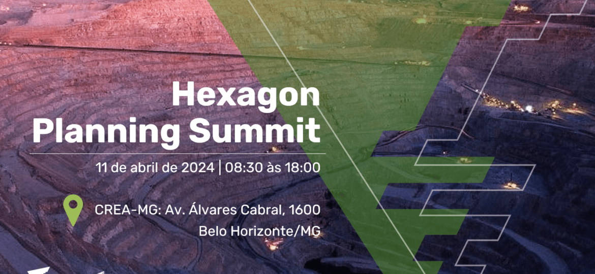
Here comes the Hexagon Planning Summit: a fascinating journey into Geology and Mine Planning! Prominas Mining, in partnership with Hexagon Mining Division, invites you to the Hexagon Mining Summit. The event will take place at CREA-MG, in Belo Horizonte, on April 11, 2024! Join us to explore the latest innovations in geology and mine planning. It will be an extraordinary journey for geologists and mining engineers, with an intense exchange of knowledge, unmissable technical discussions and networking. The event will be hybrid, allowing both in-person and virtual access. To guarantee your place in person, register now, places are limited. Prominas Mining and Hexagon Mining Division: A partnership for success. CONFIRM YOUR PRESENCE HERE. CHECK THE AGENDA. Prominas Mining Team
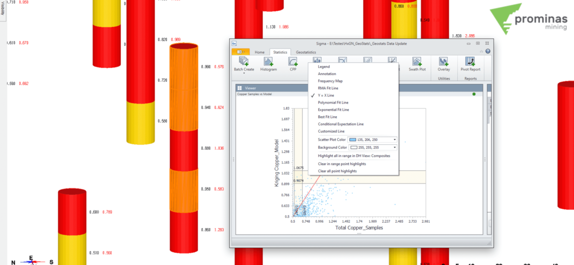
Sigma integration with MP3D: Highlight and visualize data from within Sigma. Did you know that Sigma allows you to highlight data directly in MinePlan 3D? In this Tips & Tricks, we will see how to observe samples that meet a certain criteria using Sigma graphs. To enable integration between Sigma and MP3D, it is necessary to link the MinePlan Drillhole Manager hole Data Source with its respective hole view, called DH View. To do this, when creating the Data Source, you must load the hole view object in the DH View Object field. Note that the object must be open at the time of connection. Figure 1 illustrates this link. Figure 1: Linking a hole view to Sigma. Once the hole view is linked to Sigma, you can select datasets from the…


